Drainage systems are one of the most critical — yet least visible — components of any site. When they function correctly, they go unnoticed. When they fail, the consequences can be disruptive, costly, and environmentally damaging. Drain mapping provides vital clarity below ground, allowing site owners and operators to understand exactly how their drainage network is structured and how it performs.
For commercial, industrial, and development sites, accurate drain mapping is an essential tool for risk management, regulatory compliance, and long-term operational resilience.
What Is Drain Mapping?
Drain mapping is the process of accurately locating, tracing, and recording a site’s drainage network. It creates a clear, reliable picture of where drains run, how they connect, and where foul water and surface water ultimately flow.
Many sites rely on outdated, incomplete, or missing drainage records. This lack of visibility significantly increases the risk of accidental damage, pollution incidents, flooding, and costly delays during construction or maintenance works. Drain mapping removes this uncertainty by providing verified, up-to-date drainage information.
What a Drain Mapping Survey Includes
A professional drain mapping survey documents all key elements of the drainage system, including:
Pipes, manholes, gullies, inspection chambers, and access points
Flow direction and system connectivity
Pipe depth, diameter, material, and condition
Identification of foul, surface, and combined systems
The result is a GPS-accurate drainage plan, supported by digital asset records that can be used for planning, compliance, and ongoing site management.
Why Drain Mapping Is Important
Regulatory Compliance & Environmental Protection
Drain mapping supports environmental compliance by demonstrating due diligence in pollution prevention. Accurate drainage records are often required for planning applications, building works, and environmental permits, helping ensure correct connections and preventing foul water from entering surface systems.
Essential for Construction & Development
Before any excavation or groundworks, it is critical to understand what lies beneath the surface. Drain mapping prevents accidental pipe strikes, flooding, service disruption, and costly damage claims, ensuring designs are based on accurate underground data.
Prevents Flooding & Operational Disruption
Mapped systems allow engineers to identify bottlenecks, misroutes, and capacity issues before they escalate. This is particularly important for high-risk sites where drainage failure could halt operations entirely.
Supports Maintenance & Asset Management
With a clear drainage layout, maintenance becomes targeted and efficient. Drain mapping allows facilities teams to plan inspections, jetting, and repairs precisely where needed, reducing emergency callouts and long-term costs.
Reduces Environmental & Financial Risk
Misconnected or undocumented drains are a common cause of pollution incidents. Drain mapping identifies these risks early, helping avoid environmental harm, fines, insurance claims, and remediation costs.

Who Needs Drain Mapping?
Drain mapping is essential for:
Construction and development sites
Facilities management teams
Industrial and manufacturing operations
Retail parks, logistics hubs, and commercial estates
Local authorities and infrastructure managers
Any organisation responsible for complex or high-risk drainage systems benefits from accurate underground visibility.
When Should You Schedule Drain Mapping?
Drain mapping is recommended:
Before construction, refurbishment, or excavation works
After major site changes or new drainage installations
When experiencing recurring blockages or flooding
When asset records are outdated or missing
As part of property due diligence during purchase or lease
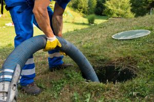
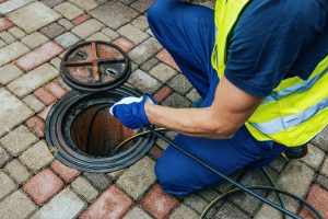
How Drain Mapping Is Carried Out
Drain mapping surveys typically combine:
CCTV drainage surveys to trace routes and assess condition
Dye testing to confirm connections and flow paths
Electronic locators, GPS & GIS systems for precise asset positioning
All findings are compiled into clear digital plans and reports, suitable for sharing with engineers, regulators, insurers, and project teams.
Benefits of Professional Drain Mapping
Professional drain mapping delivers:
Accurate understanding of underground infrastructure
Reduced emergency incidents and downtime
Safer construction and maintenance works
Improved budgeting and long-term asset planning
Stronger environmental compliance and risk control
Drain Mapping with Aqua Response
At Aqua Response, we deliver high-quality drain mapping services using advanced CCTV technology, electronic locators, and GPS/GIS mapping systems. Our experienced survey teams provide detailed, practical drainage records, tailored for complex, multi-building, and large-scale sites.
We ensure every client receives drainage information that is accurate, usable, and fit for real-world decision-making.
Secure Your Site with Aqua Response Drain Mapping
Drain mapping protects both your daily operations and the long-term resilience of your site. By gaining full visibility of your underground drainage network, you reduce risk, improve compliance, and make informed decisions with confidence.
Contact Aqua Response today to arrange a professional drain mapping survey.